Measured Building and Topographical Survey Specialists
MBT Surveys are a trusted provider of measured building surveys and topographical surveys across the South of England and the Midlands. With over 30 years of experience in the construction industry, we deliver accurate, reliable survey data for residential, commercial and public sector projects.

Accurate measured building and topographical surveys
MBT Surveys provide professional measured building surveys and topographical surveys for residential, commercial and public sector projects across the South of England and the Midlands. Using advanced laser survey technology, we capture precise data to produce detailed CAD drawings, plans and models that support planning, design and construction. Whether you are working on a small property or a large, complex site, our surveys give you the reliable information needed to move forward with confidence.
Get in touch

Reliable survey data delivered with clarity and precision
We deliver a complete surveying service, from on site data capture through to fully detailed AutoCAD drawings tailored to your project. Our experienced team combines modern technology with proven surveying methods to ensure accuracy, efficiency and consistency on every survey. With a strong focus on clear communication and fast turnaround times, we provide high quality survey data that helps reduce risk, improve decision making and keep your project on track.
Get in touchOur numbers
Accurate Survey Data You Can Depend on
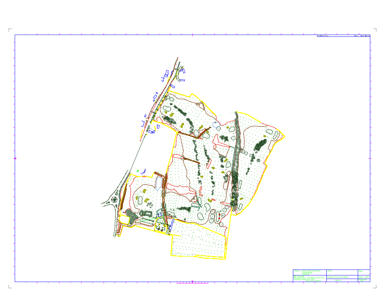
We specialise in measured building surveys and land and topographical surveys, using advanced laser survey equipment alongside proven surveying techniques to capture highly detailed and precise data.
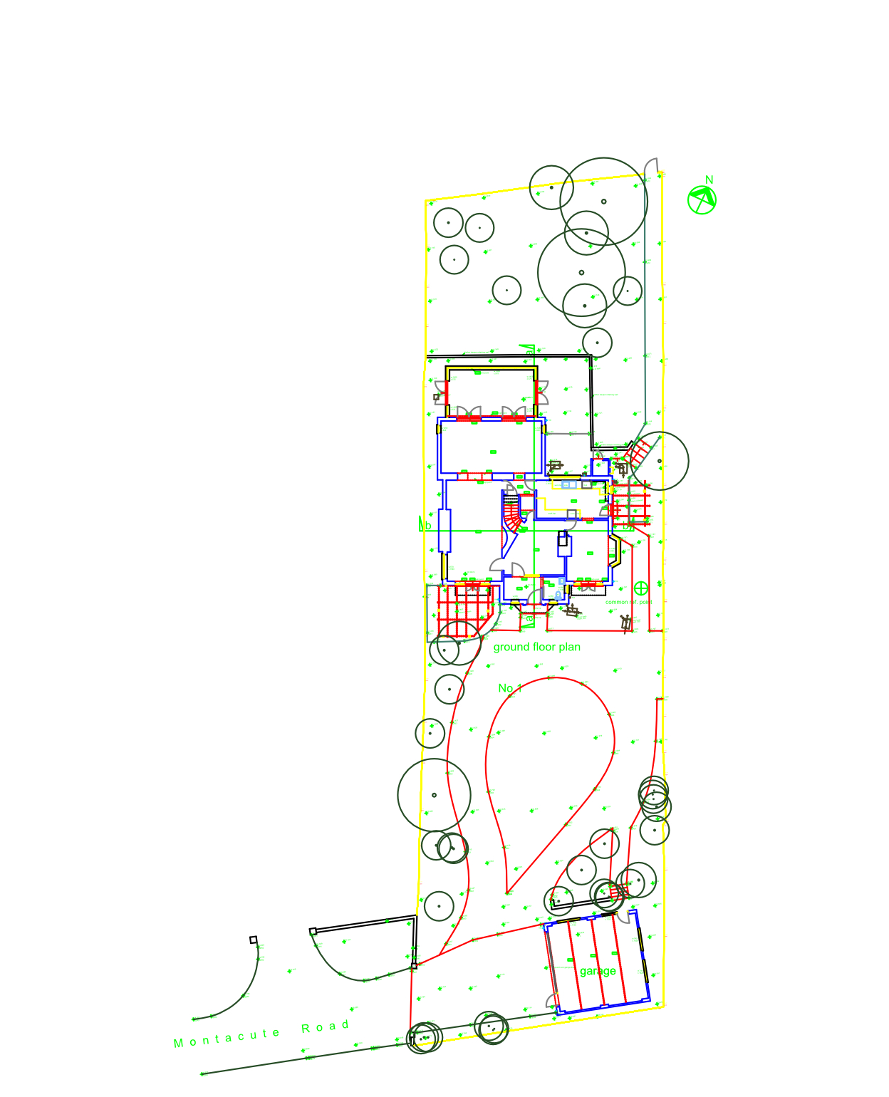
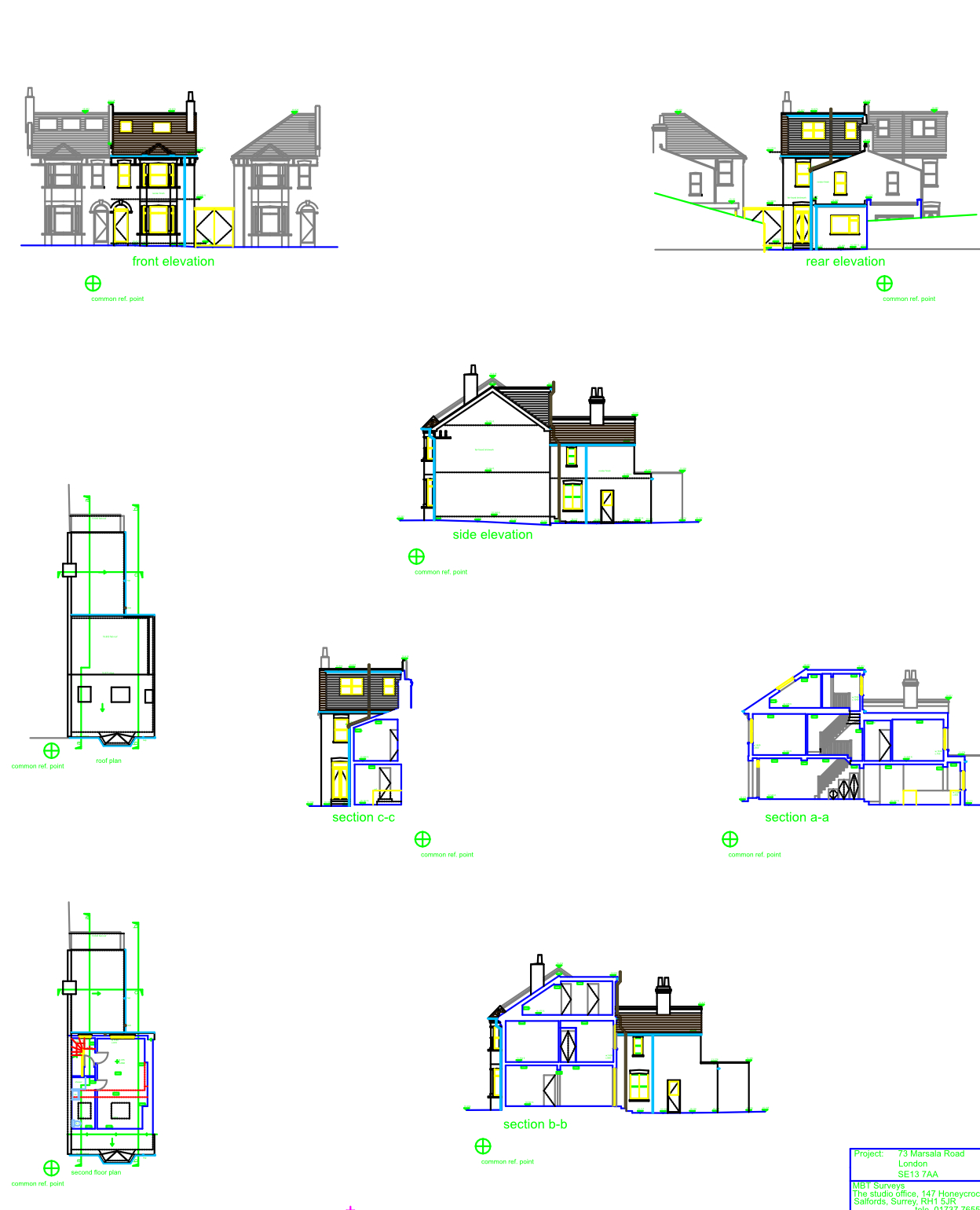
Our surveys are tailored to your specific requirements, whether you need detailed CAD drawings, point cloud data or clear site plans for planning applications. Every survey is designed to provide the information you need to move your project forward with confidence.
Meet our team



Experience Across a Wide Range of Projects
We have extensive experience working across a wide variety of building types and environments, delivering accurate survey data for projects of all sizes.
- Residential properties, from terraced houses to large country homes
- Commercial buildings including offices, retail units and banks
- Schools, universities and educational facilities
- Hotels, leisure venues and historic buildings
- Large scale sites such as campuses and local authority land
Helping You Make Better Project Decisions
Accurate survey data is essential for successful planning and construction. Our measured building and topographical surveys provide a precise record of buildings and sites, helping to reduce risk, avoid costly errors and improve project efficiency.
We deliver clear, easy to use outputs that integrate seamlessly with your design and planning workflows.
End to End Service
From on site survey work through to finished AutoCAD drawings, our team manages the entire process.
Accuracy First
We use modern laser technology combined with traditional methods to ensure reliable, high quality data.
Clear Communication
A professional and friendly approach, keeping you informed at every stage.
Efficient Delivery
Fast turnaround times without compromising on detail or quality.
Visit Our Offices
New York, NY
Sed ac nullam id egestas integer enim ipsum turpis lectus velit urna posuere aliquet a sollicitudin ac turpis.



San Francisco, ca
Sed ac nullam id egestas integer enim ipsum turpis lectus velit urna posuere aliquet a sollicitudin ac turpis.

Covering the South of England and Beyond


Speak to Our Survey Team
If you need accurate measured building or topographical survey data for your next project, our experienced team is here to help.
CONTACT US